Skip to content

Paul Greer

(Animation, etc)

  • Art
  • Work
  • Notebooks
  • Status
  • about
  • RSS

maps

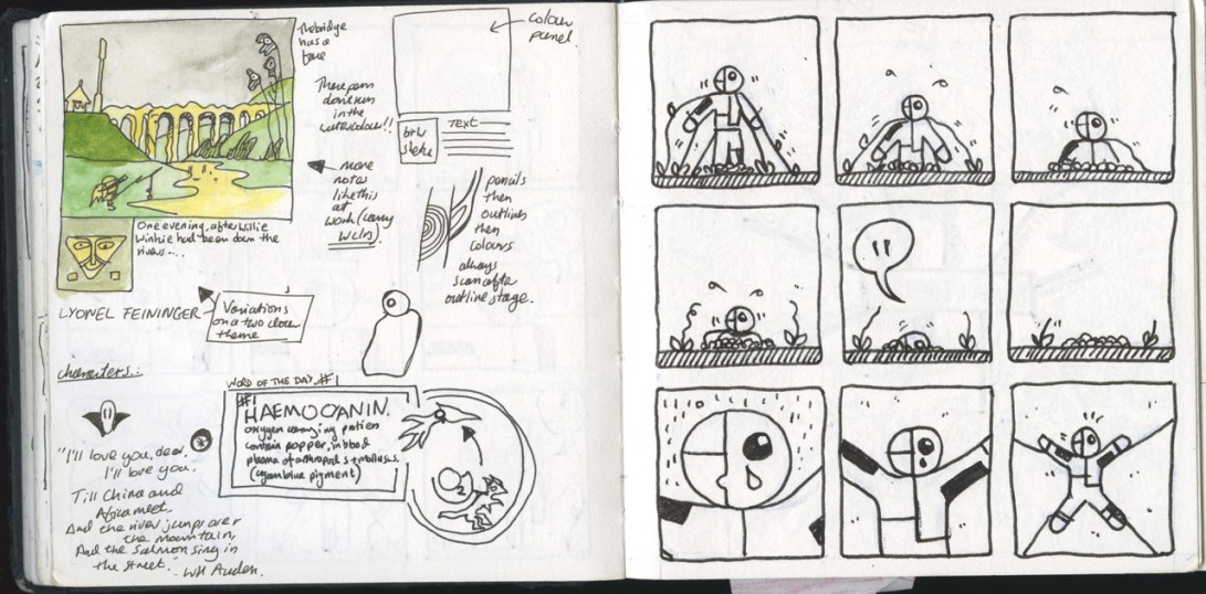
Notebook Pages Maps and That

Image | May 22, 2010March 9, 2019 | Paul Greer

London Underground map from 1908

Image | June 3, 2009May 31, 2018 | Paul Greer


London Underground map from 1908

Trees & Forests on Old Russian Maps

Link | February 4, 2009May 29, 2018 | Paul Greer


RussianMap01

“Examples of map symbols used to show trees and forests on old Russian maps (1700s & 1800s) are documented in Izobrazhenie Lesa Na Kartakh by Liudmila Andreevna Shaposhnikova. The title is roughly translated to “How Forests are Depicted on Maps.” The book was published in Moskva, former USSR, in 1957.”


RussianMap01


RussianMap03

— more here

via Orla Joan

Posts navigation

Next
  • BlueSky
  • Facebook
  • Instagram
  • Spotify
  • Linkedin
  • RSS
Blog at WordPress.com.
  • Subscribe Subscribed
    Paul Greer

    Have a WordPress.com account? Log in now.

  • Paul Greer
    View site in Reader
    Manage subscriptionsSign upLog in
    Report this content
    Collapse this bar
Loading Comments...