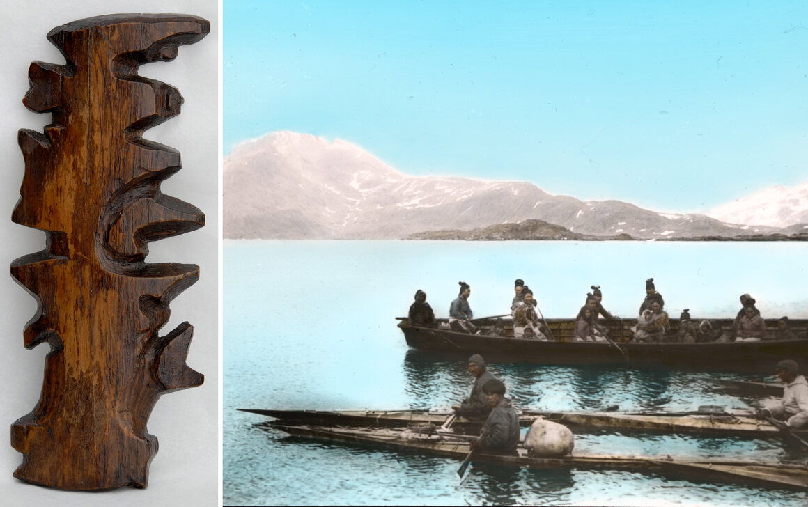
“For these seafaring people, geographic knowledge was something remembered and shared through stories and conversations of travels and hunting. “The drawing of charts and maps,” Holm wrote, “was of course quite unknown to the people of [Ammassalik], but I have often seen how clever they were as soon as they grasped the idea of our charts. A native from Sermelik, called Angmagainak, who had never had a pencil in his hand and had only once visited the East coast, drew a fine chart for me covering the whole distance from Tingmiarniut to Sermiligak, about 280 miles.” They also provided him with incredibly detailed descriptions of terrain, flora and fauna, and, in some cases, local weather patterns and lunar and solar cycles. To pass some of this knowledge on to the curious, acquisitive Holm, one hunter presented him with a set of unusual maps that have been, by turns, overlooked, discounted, misunderstood, and, eventually, admired.”
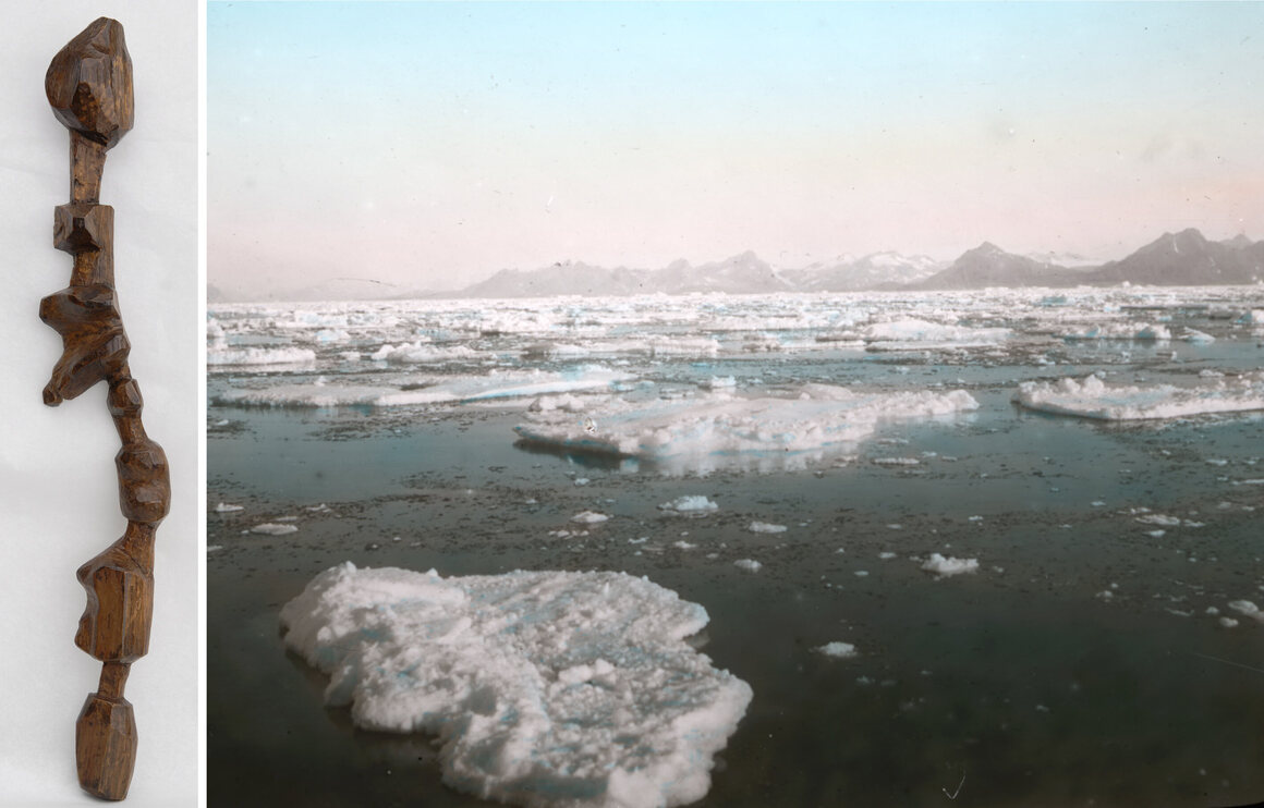
“But woodcarving was a common activity among the Tunumiit and Holm mentions that carving maps was not out of the ordinary. The Inuit people have used carvings in a certain way—to accompany stories and illustrate important information about people, places, and things. A wooden relief map, would have functioned as a storytelling device, like a drawing in the sand or snow, that could be discarded after the story was told. As geographer Robert Rundstum has noted, in Inuit tradition, the act of making a map was frequently much more important than the finished map itself. The real map always exists in one’s head. Though the maps themselves are unique, the sentiments and view of the world they represent were universal to the culture that made them.”
…Much more including annotated manipulatable 3-d models on this great post from Atlas Obscura.
